Population Expansion Under Internal Improvements
The map below features 4 snapshots of the American population and density from 1790 (Top Left) 1800, 1810, and 1820. This is immediately before the country invested heavily in domestic transportation infrastructure, to connect to their massive territory westward. The east coast was both growing in numbers and expanding outward, and it was incredibly arduous and costly to travel west, to the land of opportunity. No maps of population density exist westward at this time because there was no population to speak of.
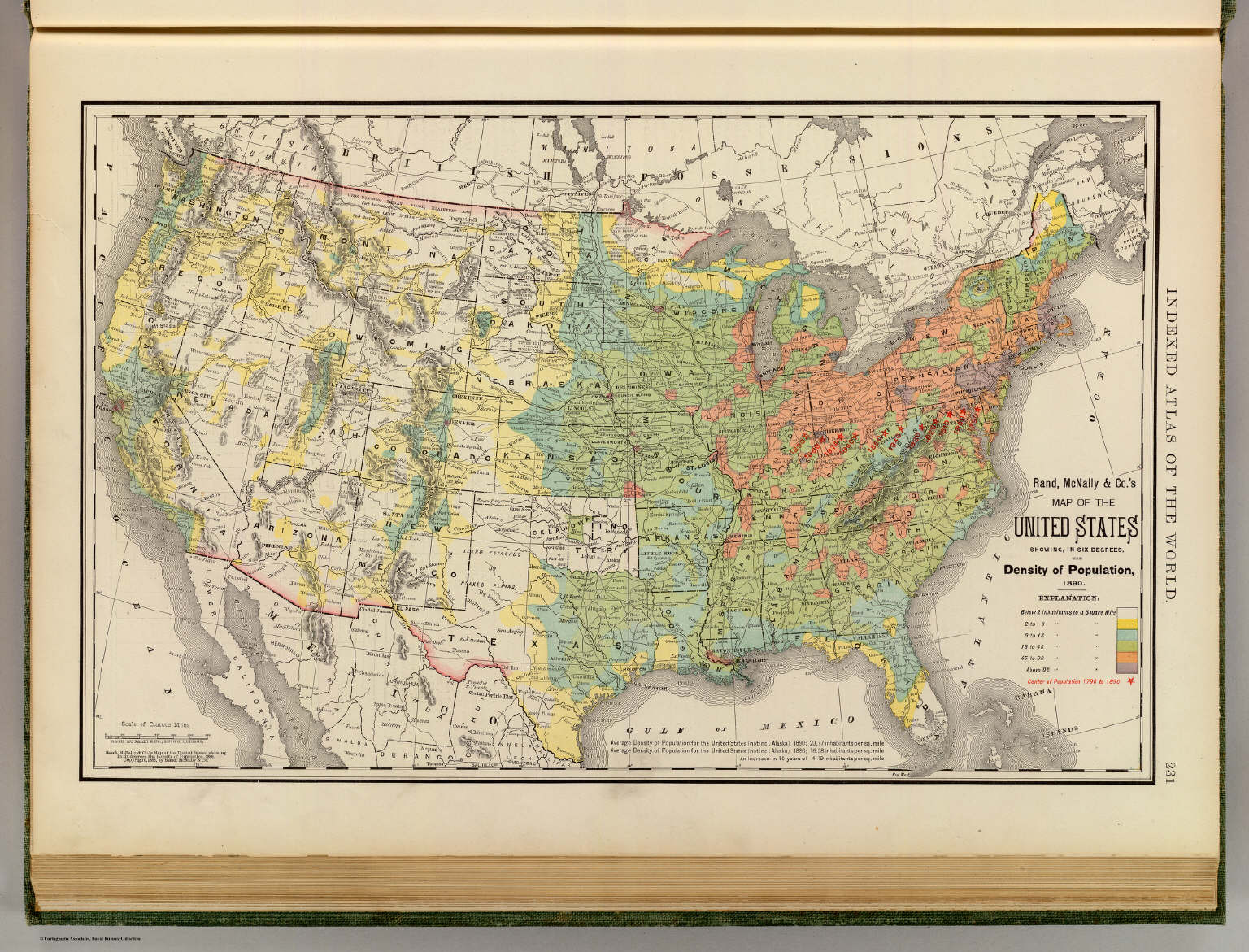
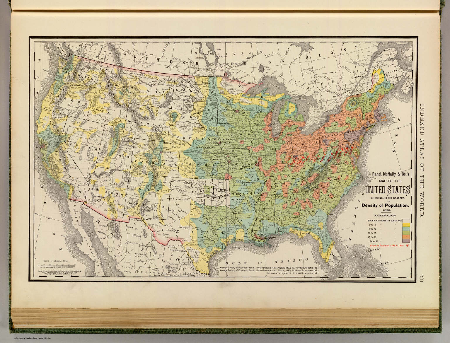
This map (below) from Rand-Mcnally shows US population density nationwide in the 1890s. Density is still higher on the eastcoast/midwest but the eastern population has spread well over the Mississippi and comfortably populating the plains and parts of the Rockys. The West Coast is seeing rapid growth; roughly 50 years into and after Internal Improvements, the California Coast (the farthest, most difficult destination from the east) is exploding, vastly due to the completion of the transcontinental railroad in 1869, which was, by definition, a 'socialist' construction.
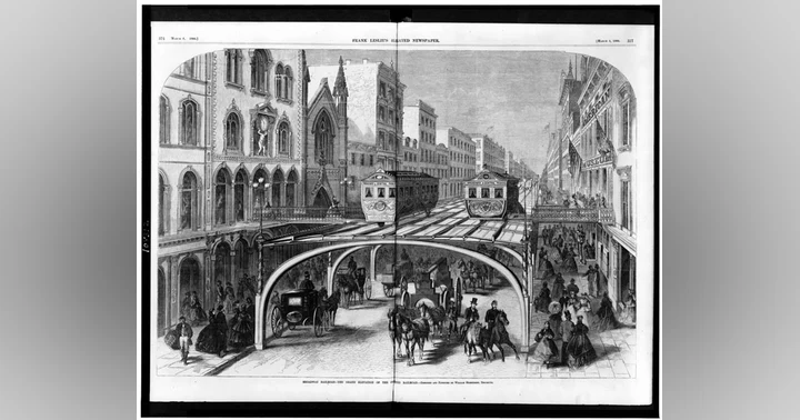
Internal Improvements: A Look Back